
Across Europe, there is a line whose meaning has almost completely reversed.
For nearly four decades, the Iron Curtain divided East and West through fences, walls, watchtowers, patrol roads, mines and heavily controlled border zones. Today, much of that same geography forms the European Green Belt: more than 12,500 kilometres of connected natural and cultural landscapes across 24 countries.
It is not one national park. It is not one uninterrupted protected strip. And, despite the name, it is not yet one finished long-distance trail. What makes it remarkable is the continuity of an idea: places once defined by separation now form one of Europe's most unusual ecological and memorial landscapes.
The border that accidentally protected nature
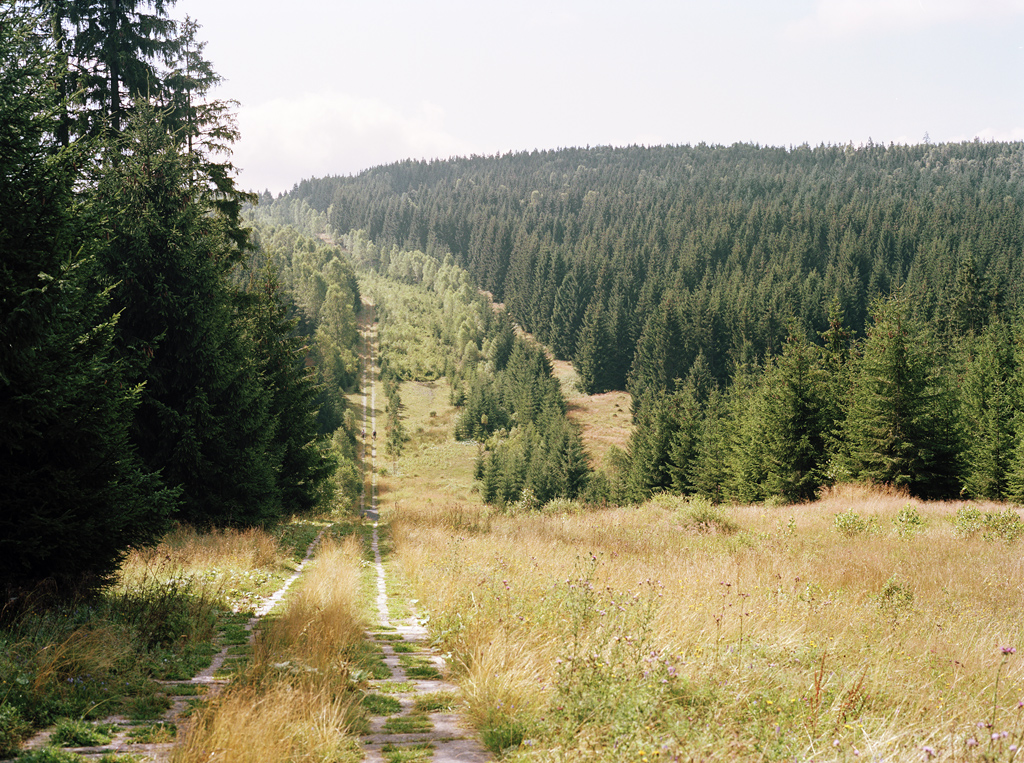
The ecological story cannot be separated from the human one. The Iron Curtain divided families, displaced communities and turned parts of Europe into dangerous exclusion zones. In former Eastern Bloc border areas, villages close to the frontier were sometimes razed and residents forcibly resettled. People were killed or injured attempting to cross.
None of that becomes benign because nature benefited. But restricted access also meant less conventional agriculture, infrastructure and development across many border areas. By the 1970s and 1980s, conservationists were already noticing unusually rich habitats along parts of the frontier.
The European Green Belt idea was proposed at European scale in 2002 and formally brought together in 2003. The result is not an attempt to erase the border's history, but to keep ecology and memory in the same landscape.
this is a memorial landscape first, not a romantic 'lost wilderness' story.
The travel value comes from the overlap of nature and history.
Look for places where the physical traces of the border are still legible.
Fennoscandia · The Green Belt turns boreal
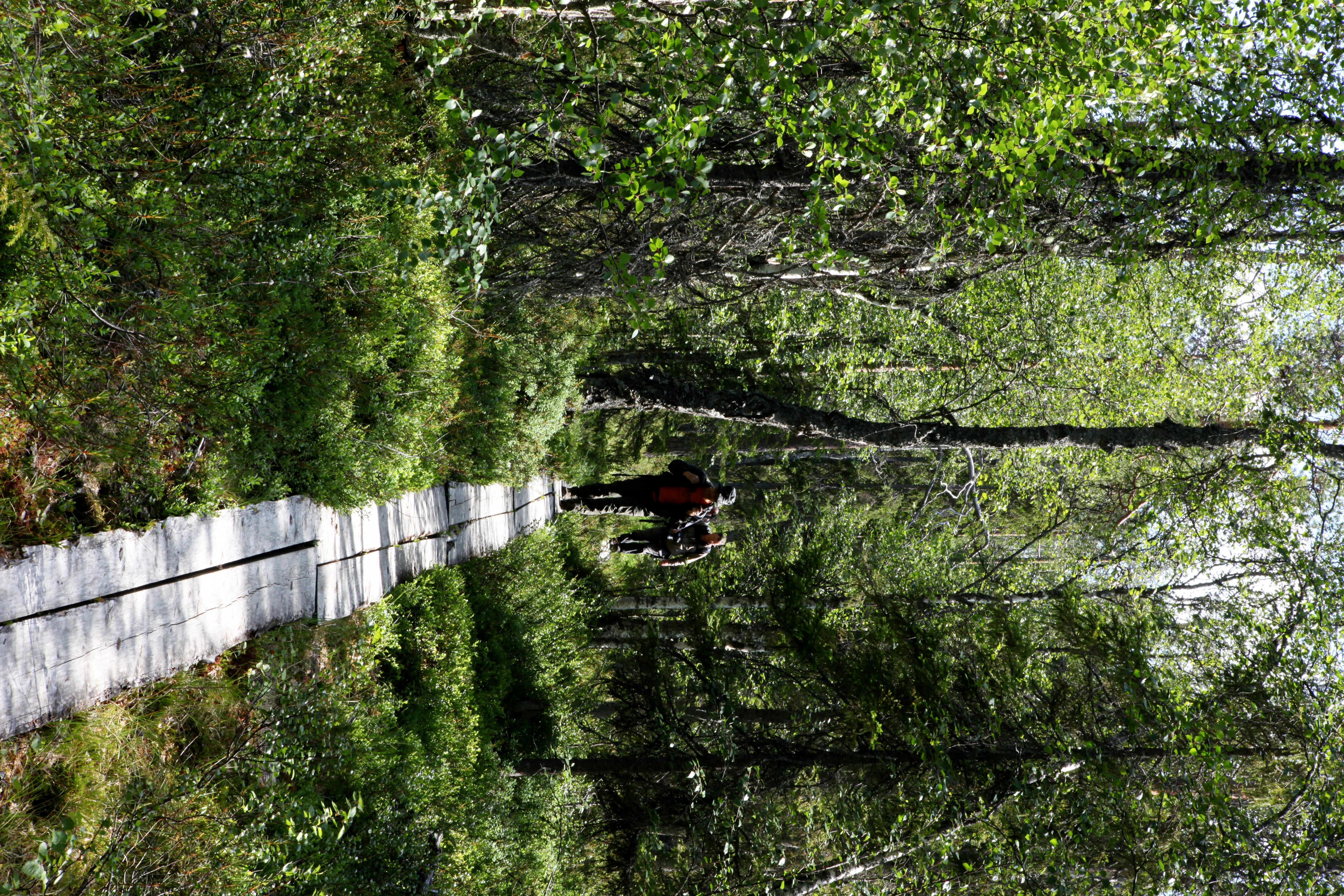
In the north, the Green Belt becomes a very different landscape: taiga forest, wetlands, lakes, Arctic and sub-Arctic ecosystems across Norway, Finland and Russia. Official background material describes a northern section stretching roughly 1,350 kilometres from the Barents towards the Baltic.
For travellers, the important point is not to imagine a single border-hugging road trip. Access rules and border regimes vary by country and can change. The useful way to approach the region is in sections, through national parks and local trail networks on the side you can legally and practically access.
Oulanka National Park in northern Finland is a useful visual reference for the kind of river, forest and boreal scale that defines this part of Europe, even when your actual route does not sit exactly on the Green Belt line.
remote nature, long daylight in summer, forests and river landscapes.
choose one accessible region rather than trying to 'follow the border'.
distances are large and cross-border logistics are not uniform.
Baltic · Where coast, dunes and absence meet
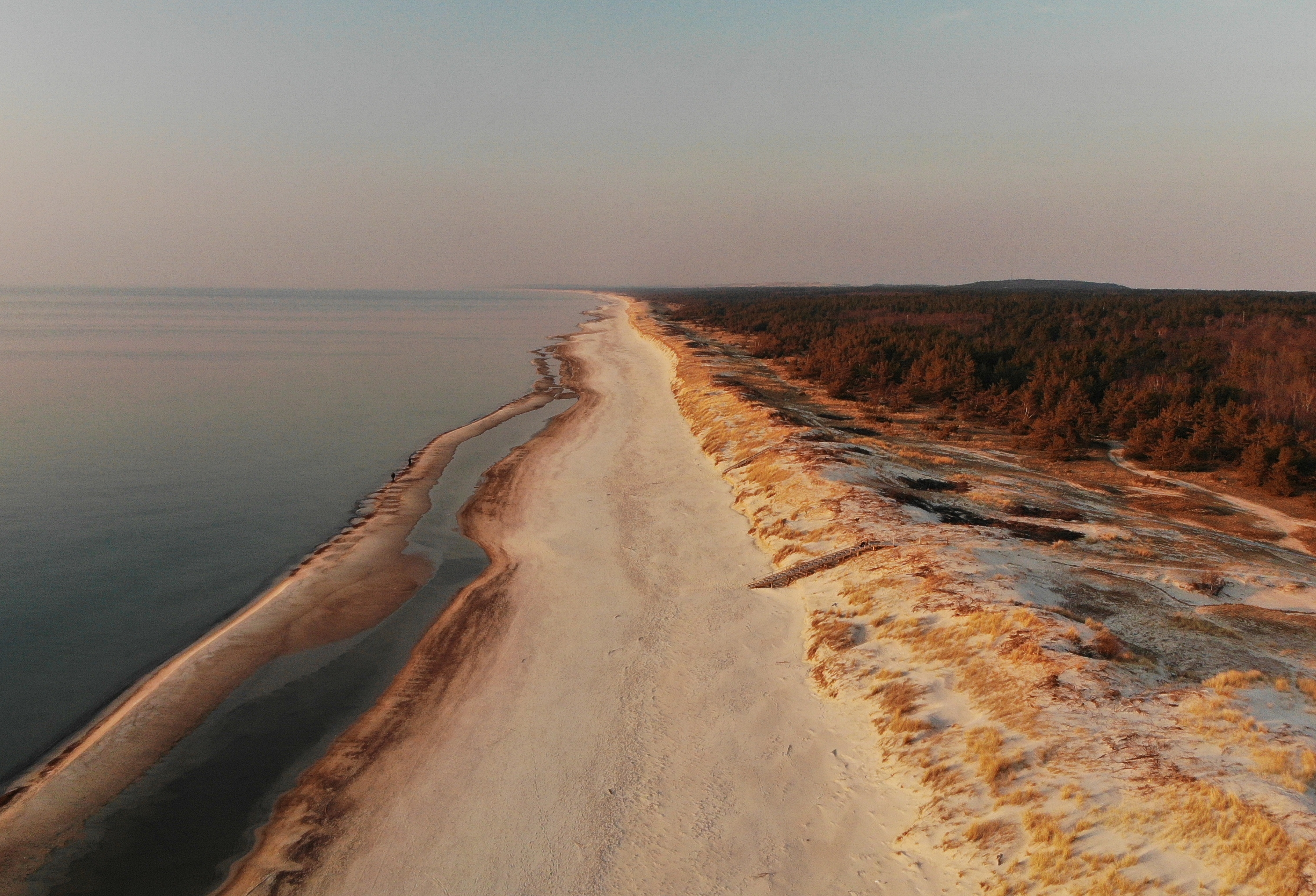
The Baltic section changes the vocabulary again. Here the Green Belt runs through coastal landscapes, lagoons, wetlands and former military areas. Official Green Belt material notes that some restricted coastal zones became important refuges for migrating birds and marine life.
The Curonian Spit captures the visual logic well: a narrow dune landscape between lagoon and sea, where geography itself feels like a line. The wider Baltic Green Belt, however, is not one scenic coast road. It is a network of habitats and historical border landscapes stretching through several countries.
coast, birdlife, dunes and low-density landscapes.
combine a strong landscape base with one or two historical sites rather than chasing the entire corridor.
do not confuse 'Green Belt region' with a single signed tourist route.
Central Europe · The border is still visible
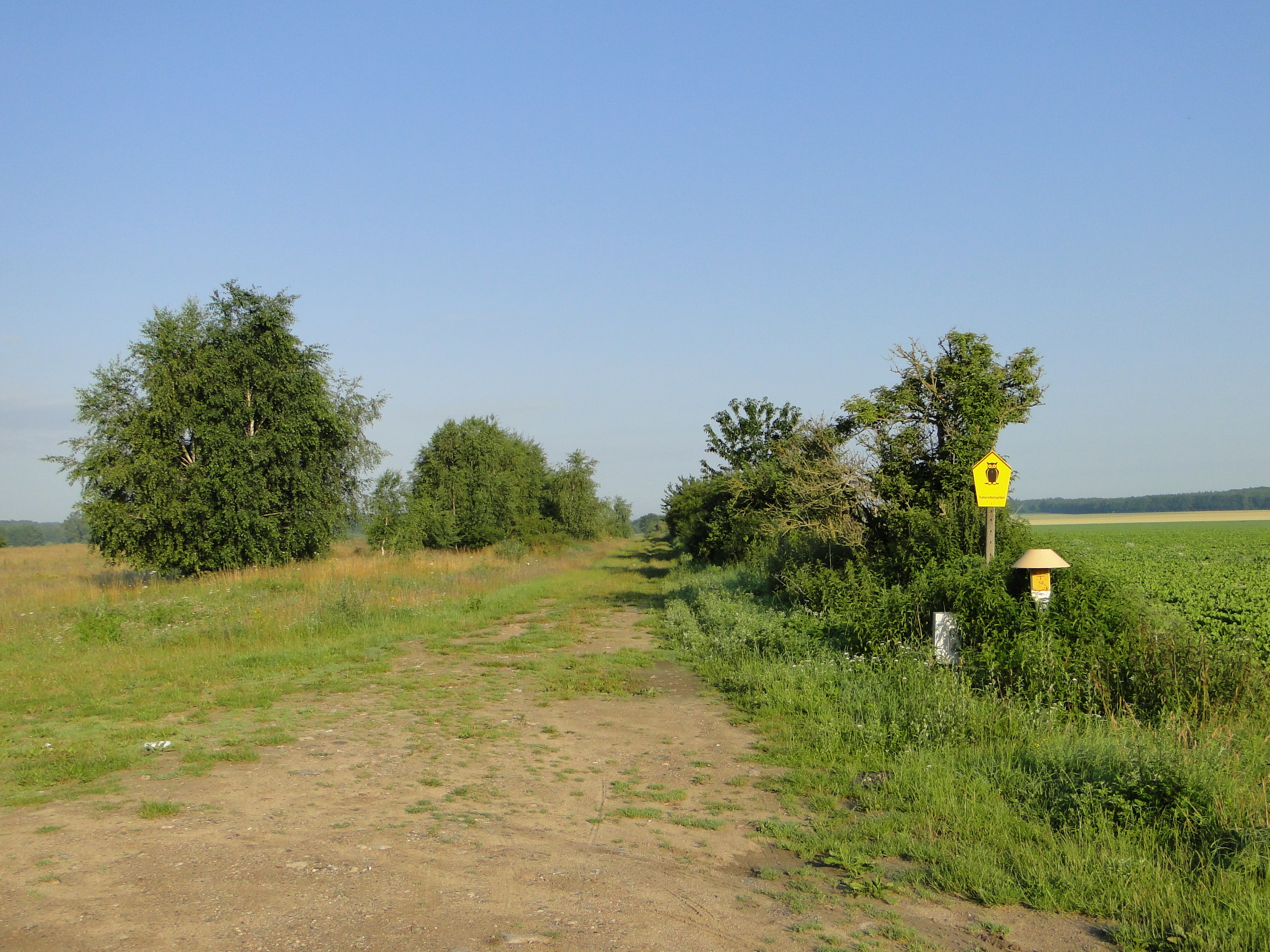
Central Europe is where the concept becomes easiest to read on the ground. Germany's Green Belt follows nearly 1,400 kilometres of the former inner-German border and is now habitat for more than 1,200 threatened plant and animal species.
What makes this section unusually powerful is that the old infrastructure has not vanished from the story. Patrol roads, border museums, memorials and traces of former fortifications can sit directly beside meadows, wetlands and woodland corridors.
This is also one of the easiest sections to explore deliberately. A dedicated German Green Belt app launched in 2025 with geolocated points of interest for both cultural history and nature, while regional hiking and cycling routes already use parts of the corridor.
the clearest overlap between Cold War history and nature.
slow road trip, cycling or walking in selected sections.
the meaning is in small border sites as much as in the scenery.
Balkans · The line becomes mountains, lakes and borderlands
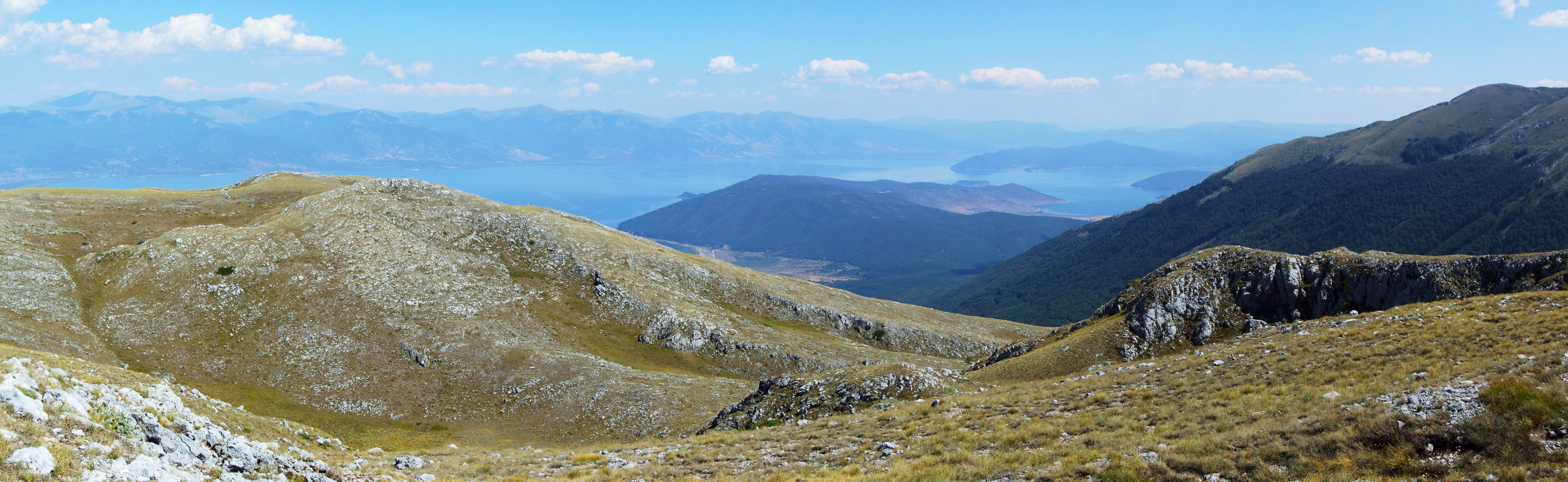
By the time the Green Belt reaches the Balkans, it has become a mosaic of mountain ranges, forests, lakes, grasslands and cross-border protected areas. The geography is less visually linear, but the idea of ecological continuity across national frontiers becomes even more obvious.
Prespa is one of the official 'pearls' of the European Green Belt. Great and Lesser Prespa sit around the border triangle of Albania, Greece and North Macedonia, surrounded by mountains and multiple protected areas. It is exactly the kind of place where ecology cannot be understood from one side of a border alone.
For OREVYON, this is where the Green Belt stops feeling like a historical curiosity and starts behaving like a genuine multi-day travel idea: one lake basin, several cultures, serious nature and a border that is present without needing to dominate every hour of the trip.
mountains, lakes, biodiversity and less obvious border regions.
stay deep in one cross-border landscape rather than assembling a checklist of countries.
transport can be slower and border logistics need to be checked locally.
Can you actually travel the European Green Belt?
Yes — but currently in sections, not as one finished 12,500-kilometre product.
There are already hiking routes, cycling routes, national parks, memorial sites, museums and local Green Belt itineraries across the network. What does not yet exist is one continuous, universally waymarked European Green Belt trail from north to south.
As of 2026, the European Green Belt Association, the European Hiking Federation and the European Mountaineering Association are developing a future long-distance European Green Belt Hiking Trail within the E-Paths framework. That distinction matters: the concept is real, but the complete trail is still being built.
The OREVYON read
The European Green Belt is most interesting when you stop trying to complete it.
Choose one section where the story is legible. Walk a former patrol road in Germany. Stay near a Baltic lagoon. Use a Finnish forest landscape as the northern counterpoint. Build several days around Prespa rather than crossing it in an afternoon.
The remarkable thing is not that nature erased the border. It did not. The strongest parts still carry the memory of what happened there.
What changed is the function of the line. A geography built to divide a continent now links habitats, protected landscapes and communities across it.